Distance: 14km
Elevation Gain: 1000m
Gunung Nuang, this mountain is one of the highest in Selangor and also one of the most unforgiving terrain for most average experience hikers. With a height of approximately 1498m high (above sea level), this mountain is good for training purpose if one aim to hike other mountain such as G7 or G12. To get here by GPS, the following destination: "Janda Baik Starting Pt Gunung Nuang" on Google or "3.303979,101.887121" can be used in google maps. Facilities provided here at the entrance are toilet and car park. The forest entrance fee is free but car park is RM7 per car. Guide is not mandatory. (Note: I just found out this side require permit, but.... )
 |
| The route from Monash University Malaysia to the entrance of the forest road |
 |
| The close up of the route |
After an hour+ drive, you will reach the entrance of the hiking trail. Once here, there will be a gate on your left and river with stone wall on your right. Park your car at the car park for RM7 per car, it has toilet facility for your use for free.
 |
| The hiking entrance, on your left is the car park and on your right is a river with the trail starting point. |
 |
| The start of the hike (and yes, that a river crossing) |
 |
| Hike to the peak (Apps: MapMyHike) |
GPX File Links:
The hike to the top of this mountain is easier compare to the Pangsoon / Hulu Langat side of Gunung Nuang but it still should not be underestimated especially for those who are new to the hike. It will take an average of 4 hours hike with occasion rest to the peak. As you hike through the farm, you will reach upon a crossroad, keep going straight to continue onto the mountain peak.
 |
| After walking through the farm land, go straight at this crossroad |
 |
| Add the waterfall junction |
It take roughly an hour and a half, depending on your speed to reach the first camp site which is the waterfall. As you reach a river, crossing the river will bring you to a junction which left will take you up to the peak and right will take you to the waterfall. After the waterfall, it all uphill from here for the next few hours.
Roughly after an hour from the waterfall, you will reach a second campsite, though, there is no nearby water source as far as I remember. After that, roughly another 30min to 45 mins, you will reach the junction where one side go to Bukit Repin and another to the peak of Nuang. Remain on the left at this junction. (note: if you want to hike to Bukit Repin, there a much shorter route than this, this is just a second path to the peak of Bukit Repin)
 |
| The second campsite |
 |
| Left to Gunung Nuang, right to Bukit Repin |
After your 4 hours of hike, you will reach the peak of Gunung Nuang. Do take note, depending on the weather, the view here can either be meh, lousy and excellent. Of all the 15 times I been to the peak of Nuang, only once ever it was an excellent view.
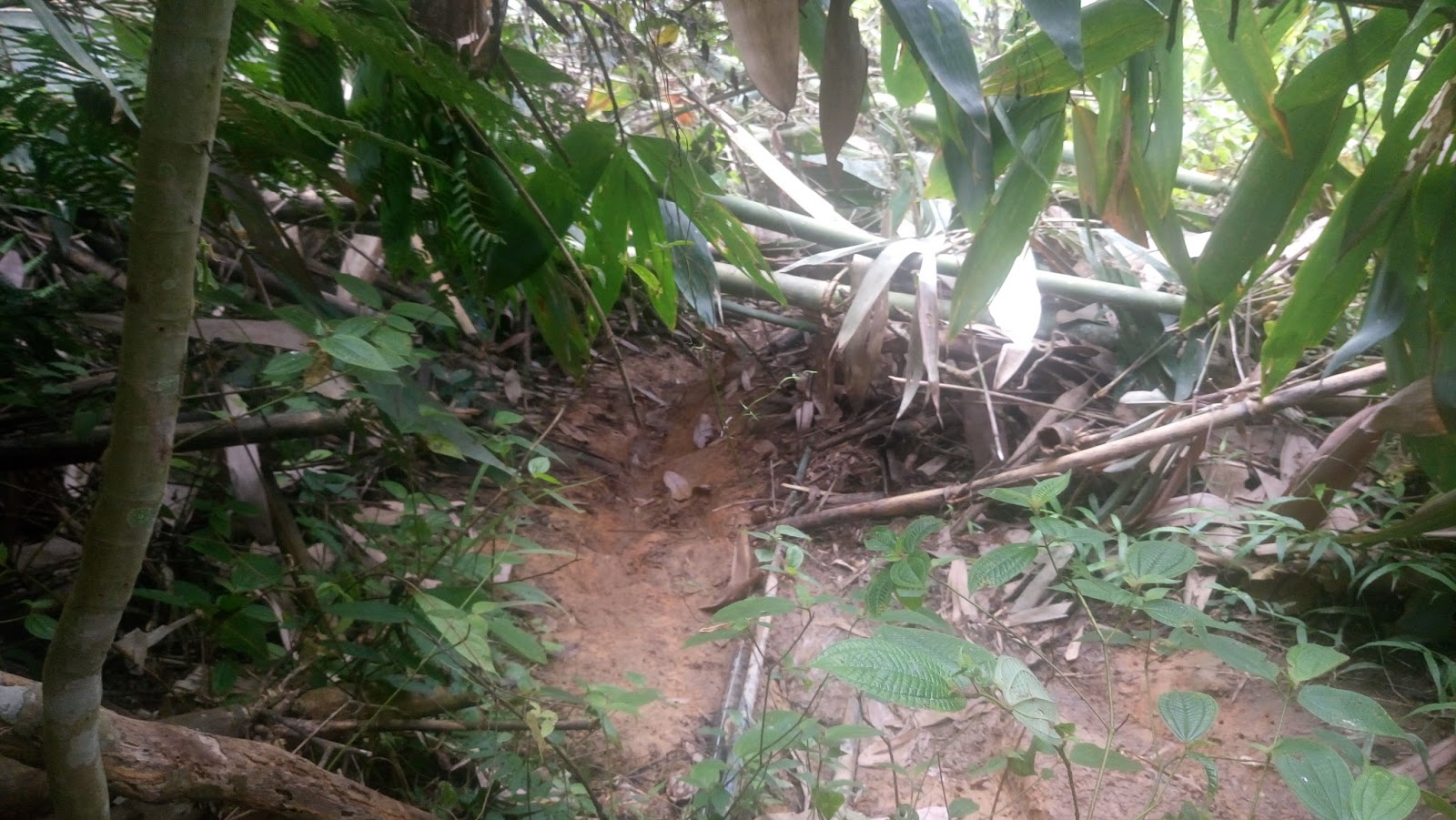
 |
| Sometime you gotta squeeze through this fallen bamboo |
 |
| Waterfall of Nuang, Janda Baik |
 |
| Once you see this rock, the peak is very very close |
 |
| This is one of the excellent view of Nuang which after 15 times to the peak, it my first time see-ing it |
 |
| Genting Highland |
This route is suitable for anyone who want to see Gunung Nuang but rather not take the tougher side of the mountain, or get a feel of how Nuang hike is before taking on the
Pangsoon/Hulu Langat challenging side.
Edited: 2/9/2017