Distance: 12km
EG: 1,400mRated: 6.0/10
Gunung Chabang, a mountain good for training elevation gain. You will pass through "Pos Slim" to get into the entrance.
To get here, first you need to GPS to this location "4.570660, 101.279073". It do be parking your car on the side of the road, unless you plan to camp, there is a space to park your car, but no matter what, you are not allowed to enter their kampung to park your car.
They do charge RM10-30 for car park (depending on day). There is no public facilities here. Forest permit is required though.
 |
| https://www.strava.com/activities/7964884928 GPX File: https://www.dropbox.com/s/xw11x7lu3u2ddvp/Mount_Chabang_.gpx?dl=0 |
 |
| Start of trailhead after 400m on the road |
 |
| If you see a downhill toward a river, you are on the right path (Note: I had a friend who couldn't cross this river after a rain, it look small but can be a huge nope during rain) |
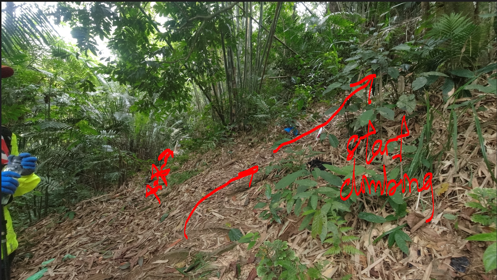
The following junction shown is from 15th October 2022, unsure if it will change in the future:
 |
| River crossing |
After that, it just a climb up to the peak of the mountain. There isn't much to offer here, just you, and tree and a lots of trees.
~6km - Peak / Summit
There isn't much to say about this trip as the whole trip is just hiking up the mountain, at least there mossy forest to see. Though it is also a good elevation training.
Last edited
18th October 2022


3 comments:
Hi, Did you climb chabang on 15th Oct 2022, thought we met you at 2nd river crossing on that day.
Oo, yeah, I think we did, you guys were the one camping at Camp Permatang right?
Post a Comment