Trans-Chamah-Ulu Sepat

Distance: 65km
Elevation: 5000m
Rated: 9.5/10

Pos Rekom

Trans-Chamah-Ulu Sepat, where you hike from Pos Rekom to Gunung Chamah, then do a long hike to Ulu Sepat and the journey ends at Pos Lelar. The hike is known to be very tough and even for your typical hike across 5 days, you need to be fit to do this as once you are drop off at Pos Rekom, there is no turning back. A permit is definitely needed. Though forest guide is not needed, it is strongly recommended to bring someone who knows the route well as it can be confusing at time.

The hiking trail covers 2 of Peninsular Malaysia tallest mountain, Gunung Chamah (G5) and Gunung Ulu Sepat (G7). The area where they drop you off is usually right at a bridge where there nothing around. You have to walk around 6-7km (depending on where the 4WD drop you) to Pos Rekom which is not easy to begin with... 

We took Grab Truck, https://www.facebook.com/Grabtruck4x4/ into Pos Rekom from Mines Inn Hotel at Gua Musang.

Mines Inn Hotel from Monash University Sunway


4WD into Pos Rekom
GPX File Link: https://www.dropbox.com/s/04xqj5purnd96qa/Gua%20Musang%204WD%20to%20Pos%20Rekom.gpx?dl=0

https://www.strava.com/activities/2418900481
GPX File Link: https://www.dropbox.com/s/k65qdvtwsfxkt33/Trans_Chamah_Ulu_Sepat%20%281%29.gpx?dl=0
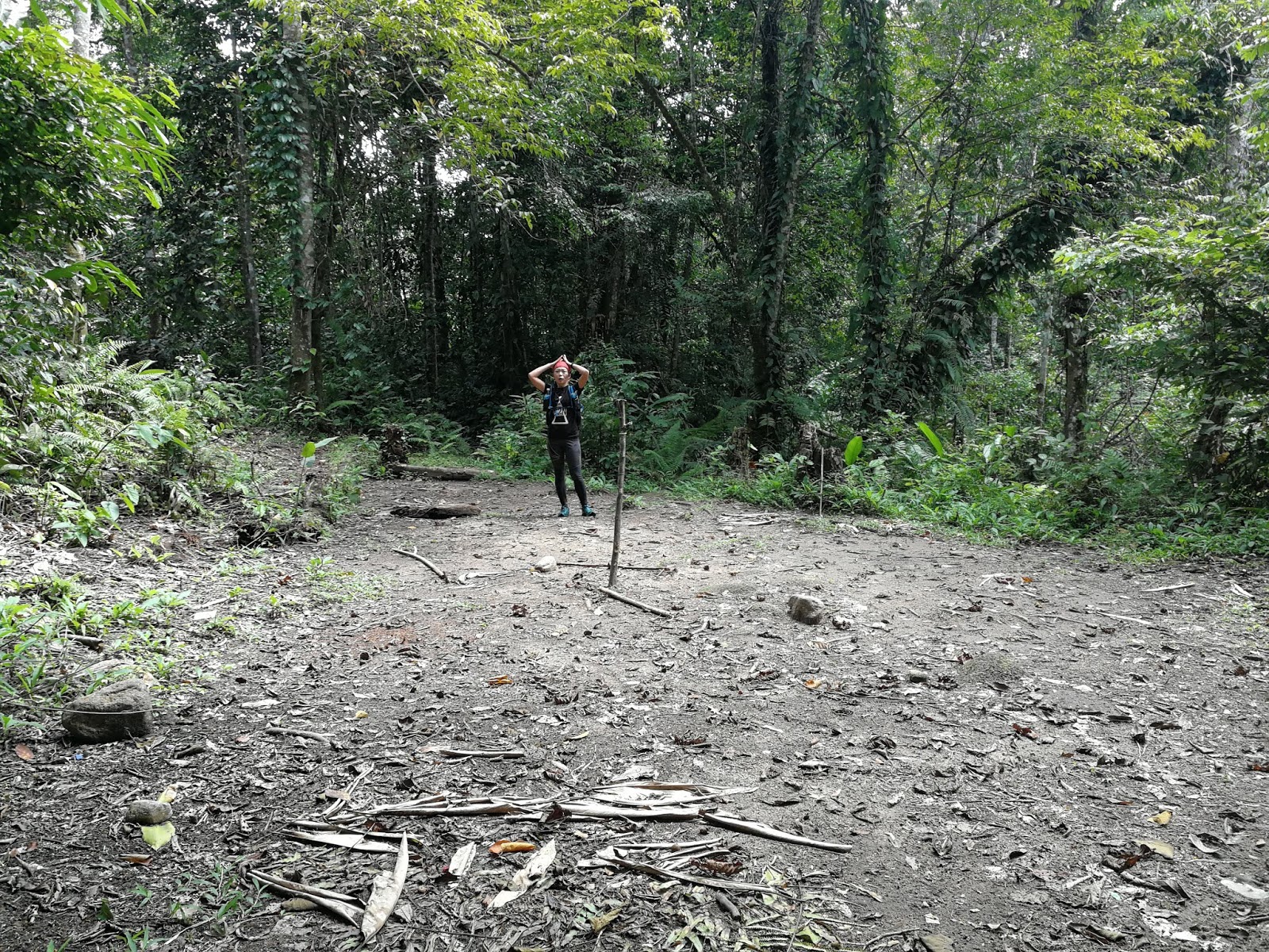
Once you reach Pos Rekom (6km), there a small hut on your left, we left some of our stuff in that hut in preparation to hike up Gunung Chamah since we are coming back down here after the Chamah hike. 

Pos Rekom, the hut is the first building one on the left
Pos Rekom "layout"

After that, we start our hike up to Chamah where our first stop is Camp Tengah (8.3km). Though no one stopped here at that time, so we continue on toward the second checkpoint, Camp Tongkat Ali (10.3km). This is also the last checkpoint for you to refill water, plus the distance to the peak from here is still far. We refill to the max at this point.


Camp Tongkat Ali Layout

After refilling and resting here, we continue our journey to Anak Chamah (12.4km). Most of the hiking path from Pos Rekom can be technical at some part but it was mainly easy and one can say it quite runnable. The trail up to Chamah Peak is beautiful in its own way.


Anak Chamah Layout

After some rest at the false peak (Anak Chamah), the trail starts to go down and back up again. After a short while, you will reach camp Cinderalla (13.7km). Head straight and shoot up all the way straight to the peak of Chamah (16.8km). Unfortunately, there isn't anything much up at the peak here, it more like an achievement thing to reach this peak. We stayed and rest a good while and then head back down to Pos Rekom.

After 28.3km and 10:15pm, 11 hours from the start of the hike, we reach Pos Rekom. We decided to sleep here for a while since some of us were very sleepy already. After taking in some solid food, we took a good 3.5 hours to sleep.

At 1.45am, we pack our stuff and continue our hike to Ulu Sepat. The trail starting from here to Camp Maggi is known to have a lot of wild animals crossing and you definitely don't want to encounter tiger or elephant alone in the jungle... So we decided to hike in groups from here onward. The trail from here onward is relatively flat but can be very raw at times since not many will hike through this path... Parang is relatively your good friend at this point.

Camp Sungai Peres (34.5km) will be the first campsite you will reach. You can choose to refill your water here or go for the next one which is Camp Maggi at 39.5km.


All of us are fighting off the fatigue at this point...

Camp Sungai Peres "layout"


Camp Maggi "layout"

Do note, at two of these campsites, there a lot of sandflies after a certain time of the day, so if you plan to camp at these spots, insect repellant is your best friend. After sleeping for half an hour at Camp Sungai Peres and another half an hour at Camp Maggi, the morning comes and we felt much better especially after having some hot drink.

Though do note after Camp Maggi, the hike from here will start to become very steep and will be mostly like this all the way until Gunung Ulu Sepat. Camp Maggi is also your last water point until Camp Sungai Lepir which is quite a distance. At 41.5km, you will reach Camp Sempadan, though there is nothing much here, the hike continue up to the next checkpoint, Puncak View at 42.5km.


After Camp Sempadan, though the trail may become steeper and tougher to climb, at least from here onward, the path is much clearer and isn't too raw. Marking at that time was also very clear. After Puncak View and a few more false peaks, you will start to climb down again... From here, it all the way down to Camp Sungai Lepir at 47km.


Camp Sungai Lepir "layout"

Do remember to refill here as Camp Sungai Lepir will be your last water point as the next one is at Camp Sungai Lenweng which is after the hike up to Ulu Sepat and back down the mountain. After refilling and resting, it the final push steep climb up to Ulu Sepat peak which is at 50.5km.

You will know you are close to the peak when you reach the beautiful mossy forest.


After that, you will reach a junction. go straight to the Ulu Sepat peak first, then only come back to the junction and head back down to Camp Sungai Lenweng.


For this view, you need to walk down from the peak a bit.
Ulu Sepat Peak "layout"

After all of that, it was time to go down. From here 15km, it all the way downhill, though the first few km of downhill can be quite technical but after that it almost runnable. At 55.5km, you will reach Camp Sungai Lenweng and 3 minutes later will bring you to Pos Sungai Lenweng.


Pos Sungai Lenweng Junction

 After Pos Lenweng, you will reach the same road as Gunung GBB at 57.6km, AKA the Ulu Sepat - Gereh, Bieh, Bilah Junction. If this is your first time coming down from Ulu Sepat, you definitely wouldn't notice this junction. If you do, go straight down, do not turn right which will make you start hiking up again and this is the wrong way!

At 59km, this is your last checkpoint before reaching Pos Lelar, Camp Sungai Y.

A Camp Site (6km)
Camp Site at 59km (Replace Camp Sg. Agek as Camp Sungai Lenweng and go toward the trailhead)
(The image is from GBB hike, but the road is the same nevertheless)

After this Camp Site, it all the way to Pos Lelar. 65km of climbing journey has finally come to an end. You can opt to do these two mountains separately, but by doing trans like this, you at least save on the boring 4WD ride. Oh yeah, even though you reach Pos Lelar, you still going to need to ride 4WD back to civilization!


Around 60km into Pos Kemar from Masjid Bawong

The dayhiker of CUS
Time Log for the hike:
1st June 2019
11:15 Start Hike
12:30 Pos Rekom (30m rest)
13:50 Camp Tengah
14:40 Camp Tongkat Ali (20m rest)
15:50 Anak Chamah
16:20 Camp Cinderella
17:50 Gunung Chamah (35m rest)
20:35 Camp Tongkat Ali
21:20 Camp Tengah
22:15 Pos Rekom (3h30m sleep & rest)
.
2nd June 2019
1:45 Leave Pos Rekom
3:50 Camp Sg. Peres (35m nap & rest)
6:00 Camp Maggi (1h15m nap & rest)
7:50 Camp Sempadan
8:15 Puncak View
10:00 Camp Sg. Lepir
11:55 Gunung Ulu Sepat
14:05 Camp Sg. Lenweng
16:40 Pos Lelar (end of hike)

(under 30 hours)
.
Overall it was a satisfying hike and happy that I have now completed my G7 and Peninsular G10 journey!


Last edited: 28 Oct 2019


Trans-Titiwangsa V2 (via Yong Belar / Camp Cabin/Kebun)

Distance: 75km
Elevation Gain: 5,200m
Rated: 10/10

Trans-Titiwangsa V2, not a name you will hear often and not many will organize a hiking trip for this. As this trail is known to be one of the toughest hiking trails in Malaysia, it is expected that hikers has to be extremely fit to attempt this!

This hiking trail covers 4 of the tallest Peninsular Malaysia mountain. Gunung Korbu (G2), Gunung Gayong (G4), Gunung Yong Belar (G3) & Gunung Yong Yap (G6). Typically, most hiker will start their hike from Yong Belar side as it will make the hike easier. Since Yong Belar elevation is much higher compare to Yong Yap trailhead, there would be much less elevation gain from Yong Belar. 

https://www.strava.com/activities/2381887921/overview
GPX File: https://www.dropbox.com/s/d248ec427o4deoe/Trans_Titiwangsa_V2.gpx?dl=0

The hike start at Camp Cabin/Kebun and the hike of Yong Belar is covered in this blog:

The hike for Trans-Titiwangsa V1 is covered in this blog:

And similarly to Trans-Titiwangsa V1, you will use the same route all the way until Gunung Korbu. The only difference this time after reaching Gunung Korbu, you have to come back to Gunung Junction to start your Trans-Titiwangsa V2 journey. The trail here is as raw as Trans-Titiwangsa V1 but it is quite open though can be quite badly overgrown at some part of the trail, please take note as there is a quite a number of minis junction which doesn't go the right way.

The hike from Korbu to Gayong is covered in this blog (do notes, for V2 you will only hike to Korbu peak and u-turn back to Gayong):
During this trip, do notes you have to bring a LOTS of WATER from Camp H2O as there won't be any water source from Camp H2O to Gunung Korbu and back to Gunung Junction and then continue all the way to Camp Lembah Agas to have your next water refill. 

That is about 21km with 1,800m of technical climb and it can take up to 16 hours (it might take longer or shorter depending on your pace). 16 hours without water source is something you have to take into serious consideration. In my case:
- Refill 2.5L of water at Camp H2O 
- Limit myself to drink only 500ml during the Gunung Junction hellish climb.
- Leave 500ml at Gunung Junction and bring 1.5L to KorGa
Side note: I brought watery fruit along this journey too like apples

(In some case, there is an exception, there a water tank in Korbu peak but it water is stagnant but there are rats there. And the water tank maybe dried up if you go during dry season. Use that water with caution! I did bring my life straw here and use it to drink the water here.)

Once you come back to Gunung Junction (30.1km), repack your bag and start heading toward Gunung Tok Nenek and prepared for more series of up and down! 

Gunung Junction (head down to Anak Junction after KorGa)

We reached Anak Junction (30.6km) and sleep here for an hour. Initially thought Anak Junction would be warmer as has a lower altitude compare to Gunung Junction itself, we were very wrong, it like a wind tunnel here and it was not a pleasant night to sleep. So take note others, it may actually be better to sleep at Junction Peak or if you can tahan, continue on for 2:30 hours and you will reach a very small empty land but wide enough for 4ppl that is much warmer to sleep at. (it took us 3 hours minus the sleep time to reach Lembah Agas from Gunung Junction).

There will be one more much bigger empty land which looks like a campsite and has a river which requires you to walk down around 3-4 minutes to it. This is not Camp Lembah Agas which is roughly less than 30 minutes away.

After all of that, we reached Camp Lembah Agas (34.6km) and had our breakfast here for around 40minutes. Refill our water and prepare ours hike up to Puncak View.

Anak Junction, worst place to sleep.


A campsite without any name (not Lembah Agas)
Turn left and walk down to a river, cross the river and start climbing toward Lembah Agas

Lembah Agas (Breakfast here & water point after a long period of time)
Camp Lembah Agas
From Lembah Agas, you will reach Puncak Bonsai Tengah (36km) and if you are lucky with the weather, you can see all the Titiwangsa Mountain Range here including all four G7 peak, Yong Belar, KorGa & Yong Yap.

Puncak Bonsai Tengah

Puncak Bonsai Tengah

Puncak Bonsai Tengah

Puncak Bonsai Tengah

After enjoying the view here, there is one more viewpoint along this trail. It may look near on the maps but it actually quite a distance and it took us one hour to reach it, otherwise known as Puncak View (38.5km).

(Side note: If you take a look in the attached GPX file or our route, we actually took a wrong turn down the hill at 36.6km. It was a good 150m downhill which is huge. The problem was not because the path is not clear but the path that took us to the wrong route was "clearer". And yes, the whole group mistook a turn here, so please be careful at 36.6km.)

Puncak View

Puncak View


Puncak View

After that it a short downhill to Camp D.G.U. aka Don't Give Up. You can choose to refill your water here or on the next water point which is roughly 2-4 hours away after Puncak Belumut. 


Camp DGU
Camp DGU

This is one of the tougher section of the V2, climbing Puncak Belumut. There is many mini false peaks and to make thing worst, there is literally no view on top here...

Puncak Belumut

Puncak Belumut
At Puncak Belumut, after walking around 5minutes or less, there is a junction. The junction going straight might be more obvious than the one going to the left. DON'T GO STRAIGHT!


After that, it another roughly 40m-1hours downhill to Camp Kacang. During this time, please keep an eye out of this campsite as it is not obvious and it not in the line of sight when you are descending. DO NOT MISS THIS CAMPSITE!

Once you reach here, do refill as much water here as the next water source will be after Gunung Yong Yap and yes, I know there is another water source at Camp Lopak which is in between Bubu and Tok Nenek, but same as Camp Cerek, the water source is very far.


Camp Kacang

Camp Kacang
Camp Kacang

After refilling and all, time to descend a bit more and climb all the way back up to Puncak Kambing. Roughly after an hour or two, you will reach the Puncak Kambing which is part of the trail of YYBTN! Turn right first to go Gunung Tok Nenek, take a few pictures and then U-turn back and complete your Trans-Titiwangsa V2 by passing Bubu and then Gunung Yong Yap!

The hike for YYBTN is covered in this blog:
https://keeminginsj.blogspot.com/2018/08/gunung-yong-yap-gunung-bubu-gunung-tok.html

Time log for this hike:

18th May,
9:45 Start
12:30 Camp Kasut
13:10 Yong Belar
13:55 Camp Kuali
16:30 Camp H2O (dinner 30m)
19:05 Gunung Junction
21:30 Simpang Proton
23:10 Gunung Korbu
.
19th May
01:27 Gunung Gayong
02:00 Camp Cerek (Nap 15m)
04:00 Gunung Junction
04:30 Anak Junction (Sleep 1 hour)
08:05 Camp Lembah Agas (breakfast 40m)
09:35 Puncak Bonsai Tengah
10:54 Puncak View
11:20 Camp DGU
13:05 Puncak Belumut
13:45 Camp Kacang (Lunch 30m)
15:30 Tok Nenek
18:00 Gunung Bubu (15m rest)
21:30 Gunung Yong Yap (30m rest)
23:50 Camp Balak Pecah (sleep 1 hour)
.
20th May
03:50 Camp Agas (Nap 15m)
07:05 Simpang YY/TN
09:25 End of hike

(47hours 40mins) [Our team front group managed to complete it in under 38 hours]

Food prepared for this hike:
-2.5L capacity of liquid
-7 Snicker Bars
-2 Apples (for the KorGa round trip as there is lack of water sources)
-9 Hutan Rations Bars
-Salt sticks
-1 Kembara Pack
-1 Can Baked Bean
-1 Energy Gel
-6 Extrajouss

If you do plan to do this hike "daypack" style, be very prepared both mentally and physically! If you feel there a need to abort mission cause of maybe bad weathers or team member don't feel comfortable anymore either at Korbu or Yong Belar or even at Tok Nenek, don't hesitate to do so. the trail can be very unforgiving and one small snowflake can cause a huge disaster in there.

We took 2 attempts to only finally complete it (our first attempt we had to abort at Tok Nenek), there are some took a few more, so don't worry if you can't complete it on your first attempt. But if everything goes well, I can guarantee you that satisfaction... I really can't describe in words.


Last edited:
9 June 2019